|
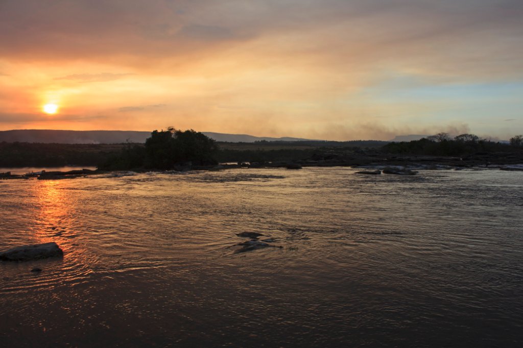 |
| Rio Carrao just before the waterfalls | |
| Latitude: N 6°14'43,58" | Longitude: W 62°50'42,65" | Altitude: 430 metres | Location: Curatabaca | State/Province: Estado Bolívar | Country: Venezuela | Copyright: Ron Harkink | See map | |
| Total images: 70 | Help | |
|
|
|
| Rio Carrao just before the waterfalls | |
| Latitude: N 6°14'43,58" | Longitude: W 62°50'42,65" | Altitude: 430 metres | Location: Curatabaca | State/Province: Estado Bolívar | Country: Venezuela | Copyright: Ron Harkink | See map | |
| Total images: 70 | Help | |